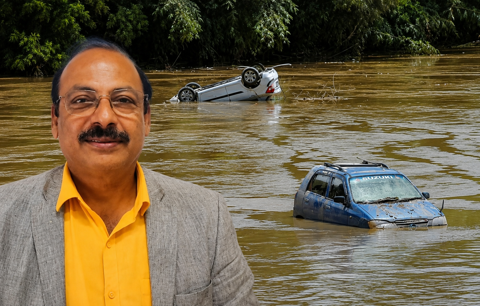

With Assam battling recurring floods triggered by intense rainfall and the swelling of the Brahmaputra and its tributaries, the geologist from North Eastern Hill University (NEHU) has stressed that the immediate priority should be the construction of dedicated river canals to rapidly drain excess rainwater from vulnerable areas and the removal of boulders accumulated in riverbeds by allowing local communities to use them for road construction and other village infrastructure works. According to him, improving the river’s carrying capacity through these measures, coupled with scientific floodplain zoning and river management, can substantially reduce the scale and frequency of flood devastation across the State. He also called for an urgent shift from reactive flood relief to long-term scientific mitigation measures, arguing that recurring floods require sustained planning rather than emergency responses alone.
Prof. Devesh Walia of the Department of Geology, North Eastern Hill University, Shillong, told Meghalaya News 24 Assam’s floods are not unprecedented but are part of a recurring hydrological cycle that demands sustained planning rather than emergency responses.
“See What we see if we just see if there is a Brahmaputra board, of course. They are working for various measure They are taking various mitigation measures. But what happens that when the flood water enters the the populated region, then it is what is devastating. So, for that world over, wherever river comes close to the city, the river channels are constructed or river canals are constructed so that the excessive water of the river goes from the opposite side and at a faster pace,” Prof. Walia said.
Calling for immediate intervention, he said, “There are a lot many mitigation measures are there instantly there should be construction of canal so that the water, the rain water because of excessive is rain here, should be able to go off from this reason at a very fast phase.”
Explaining the geomorphological processes that aggravate flooding, Prof. Walia said the Brahmaputra and its tributaries transport enormous quantities of sediments, including sand, pebbles, cobbles and boulders, from the hills of Arunachal Pradesh, Meghalaya and other neighbouring States. Over time, these materials settle in river channels, reducing their carrying capacity and increasing the likelihood of floods.
“The river water has got tremendous power, it uplift also. These boulder when they got each other they become smaller, when they hit the embankment, they damage the embankment but along with this they travel to certain distance and then get accumulated, they get deposited in the area,” the expert said.
He said the accumulation of boulders gradually raises the riverbed, leaving less space for water to flow during periods of heavy rainfall.
“What happen, if you go to Arunachal Pradesh you will see very close to the bridge is the river bed because the river boulders, every year, they are getting accumulated, and then what happens the amount of Water to move over it, that space becomes less,” the geologist said.
Suggesting a practical solution, he said local communities should be permitted to remove and utilise these deposited boulders.
“So the government should allow the local people to use these boulders for various purposes in the villages, for various construction purposes, especially for making roads at all. The target is not only to to clear the the boulders, but the river channel is depend so that the more amount of water can flow, and it will be less flooding,” Prof. Walia added.
He further observed that continuous deposition of sediments has steadily reduced the carrying capacity of major rivers.
“The flooding can be controlled because the river Channel with time, whether it is or any river Brahmaputra or any river in Arunachal Pradesh, will time they gets lot of sand boulder keep on depositing. So the total level of water to flow, becomes less every year. So, that’s why we say that the major rivers, especially river, like Brahmaputra, it floods every five years and has devastating flood.”
Describing the current floods as severe but not unprecedented, Prof. Walia said historical records show similar events have occurred before.
“This is very again extremely important because caution has to be taken. It is not a phenomena, which is occuring for the first time. Although this time they say that it has crossed the record of it last 52 years, but it has occurred 52 years back also.”
He stressed the need for scientific land-use planning and floodplain zoning around major urban centres such as Guwahati, Dibrugarh and Sivasagar.
“So the zonation of the river and Implementing the development plan in the river in such a manner that see if we have got big big buildings on the river bank means after the riverbank. Then there is a first Zone, which is the flood level, and after that big buildings can be there. Bazar can be constructed which can be little uplifted while construction and whenever river water increases, then the things can be moved. And if the market is closed for three, four days. Nothing happens. So, like this, there is a zonation in the river, especially near the bigger cities, is extremely important.”
Explaining the broader hydrological setting of Assam, he said flooding is a natural seasonal process intensified by the State’s geographical location and heavy rainfall across the northeastern hill States.
“Actually you know that flooding is a normal process, and the process is such that every season there is a lot of water comes into the river, and when it crosses the embankment, then floods the region nearby, now, especially for Assam because it is a it is already lying in a place where excessive rainfall occurs in India, and there is a major river like river Brahmaputra, which is flowing East West and on the hills Arunachal Pradesh, even Meghalaya also any states, so to say the water of these states are flowing towards the Brahmaputra. So, what happens that excessive rainfall any of these places will finally add up to the river Brahmaputra,” the expert said.
He warned that fast-moving boulders transported by floodwaters repeatedly strike embankments, weakening flood protection structures.
“Now, along with the water they bring in lot of River sediment includes sand, pebbles, cobbles, and boulders, and these Boulers gets accumulated in the river channel as they get accumulated in the River Channel and with the speed of the water velocity of the water little bit higher. Then, what happens that these stones they flow with the water, and then they keep hitting the embankment if Such hitting means attrition collision is not controlled, then it ought to feel the impact the embankment, and that’s what has happened in this case also.”
Recalling similar experiences elsewhere, he said, “This is not a first time phenomena. It has been occurring so the governments and the the people around these areas should be very, very cautious, like few years back, there was similar thing happened in Silchar.”
Prof. Walia also pointed out that once floodwaters breach embankments and enter low-lying settlements, draining them becomes extremely difficult, underscoring the need for preventive infrastructure.
“So, the government should take new mitigation measures, so that all these things are have been occurring all over the world. This is not that river Brahmaputra only has got such a special morphological feature, so it has been occurring. So, there are various Methods through which such events can be prevented can be, mitigated, or it’s impact can be reduced.”
He cautioned that the crisis does not end when floodwaters recede, as stagnant contaminated water poses serious public health risks.
“The flood water is there now. Flood water is mixed with sewage, water, and all the waist. All the toxic elements are there. So, now these the moment the the flood water start settling the complete water will not go back to the river, which will not. So, the polluted water toxic water will remain the area. It will give rise to give birthplace of various mosquitoes, various epidemics.”
Prof. Walia urged authorities to act swiftly to prevent disease outbreaks, particularly in densely populated and waterlogged areas.
“So, the government has to take immediate measures to control, especially in those areas where population is thick and any such say any we know. In Assam, it is a low-lying area, not many lakes lot Many water bodies are there, so these will be the water will get polluted of these lakes and all. So, the government has to take precaution to take care so that the water Toxic water, polluted water because of sewage and other toxicity is controlled, and it doesn’t breed mosquitoes or any other,” he added.
Canals, Riverbed Desiltation and Floodplain Zoning Key to Mitigating Assam Floods, Says NEHU Geologist